


Custom Thermal Imaging Drone Manufacturer

Advantages of Customized Thermal Imaging Drone
Efficient and flexible, empowering the operation process
Customized thermal imaging drones integrate high-resolution infrared detectors and lightweight design, greatly improving data collection efficiency. In scenarios such as power inspection and oil pipeline monitoring, it can quickly cover large areas, conduct non-contact temperature measurement, reduce manual risks, and shorten operation time. The modular design supports lens replacement and functional module installation to adapt to diverse task requirements.
Intelligent and accurate, optimizing decision-making basis
The customized solution integrates intelligent analysis technology, and with the help of multi-spectral data fusion and AI algorithms, it automatically identifies abnormal temperature points and generates early warning reports. Firefighting and rescue can penetrate smoke to lock the source of fire, and the agricultural field can accurately judge crop pests and irrigation needs. Some high-end models support automatic route planning and intelligent airport linkage to achieve unmanned inspection.
Adapt to the industry and expand the application boundaries
Customized thermal imaging drones optimize functions according to the needs of different industries. The power industry model is equipped with a refrigerated detector to achieve clear imaging at a frame rate of 100Hz; the environmental law enforcement model detects trace gas leaks with a sensitivity of 0.001mL/s; the forest fire prevention model can be equipped with a tethering system and firefighting equipment to participate in high-rise firefighting operations.
Innovation balance, reduce usage costs
Through hardware integration and software optimization, customized thermal imaging drones reduce power consumption and weight and extend battery life. The SATIR platform adopts a lightweight design to improve data transmission stability. Customized solutions can select sensors on demand to balance cost and performance.
Safe and reliable, adaptable to extreme environments
The customized thermal imaging drone is wind-resistant, waterproof, and cold-resistant, and can operate stably in bad weather. In border patrols, night search and rescue tasks, it can detect human heat signals from a long distance and locate coordinates. The non-contact feature reduces the risk of cross-contamination in epidemic monitoring and hazardous goods inspections.
Thermal Imaging Product Custom Service
In-depth communication and anchoring of needs
Arrange professional project consultants to conduct one-on-one communication with customers and comprehensively collect information from customers on usage scenarios, functional preferences, budget planning, etc. For special application scenarios, such as high-risk environment detection and precise monitoring of specific areas, organize technical teams to conduct field research and analyze on-site environmental factors, such as geographical conditions and climate characteristics, to provide a basis for customized solutions.
01
Exclusive design and detailed planning
The technical team conducts customized design based on the collected information. Combining existing technology and product resources, determine the model of the drone, the selection of thermal imaging equipment, and the configuration of the flight control system. During the design process, fully consider the key performance indicators of the drone, such as endurance, data transmission stability, and imaging accuracy. After the plan is completed, organize cross-departmental reviews and optimize the design plan in a timely manner based on customer feedback.
02
Strict production to ensure quality
Select high-quality components and assemble them in strict accordance with production standards. During the production process, use advanced manufacturing processes and equipment to ensure the overall quality of the drone. At the same time, introduce multiple quality inspection procedures, from raw material inspection, component testing to whole machine performance testing, to fully guarantee the performance and quality of the drone.
03
Simulate actual combat and optimize performance
Simulate various real-life operation scenarios and conduct comprehensive tests on drones. The test content covers flight performance, thermal imaging effects, data transmission reliability and other aspects. Collect test data, use data analysis tools for in-depth analysis, adjust the parameters of the drone based on the analysis results, and optimize its functions and performance to meet the actual needs of customers.
04
Worry-free delivery and continuous service
When delivering customized thermal imaging drones, provide detailed manuals, technical documents and other materials to assist customers in acceptance. Provide customers with comprehensive operation training to help customers master the use and maintenance skills of drones. Build a complete after-sales support system, respond to customers' after-sales needs in a timely manner, and visit customers regularly to ensure that customers have a good user experience.
05
Technical Features and Core Functions
Thermal Imaging Technology Integration
Customized thermal imaging drones are equipped with uncooled focal plane thermal imaging lenses (such as 1/2-inch detectors, 35mk sensitivity), which detect target radiant heat energy through the 8~14μm band to achieve all-weather imaging. Some high-end models support thermal imaging and visible light fusion display, equipped with a 0.39-inch OLED screen (1280×768 resolution) to output temperature distribution maps in real time.
Multi-sensor fusion system
Combined with LiDAR, GPS/Beidou dual-mode positioning and obstacle avoidance system, it improves navigation accuracy in complex environments. For example, some models use 5G communication modules to achieve low-latency data return, and cooperate with AI algorithms to complete automatic target tracking.
Modular Custom Design
Supports flexible configuration of gimbal angle, battery capacity (1-8 hours of battery life), and payload type (such as thermal imaging + gas detection). For example, agricultural monitoring drones can integrate multi-spectral sensors, while security models enhance night vision and face recognition functions.

Core application scenarios
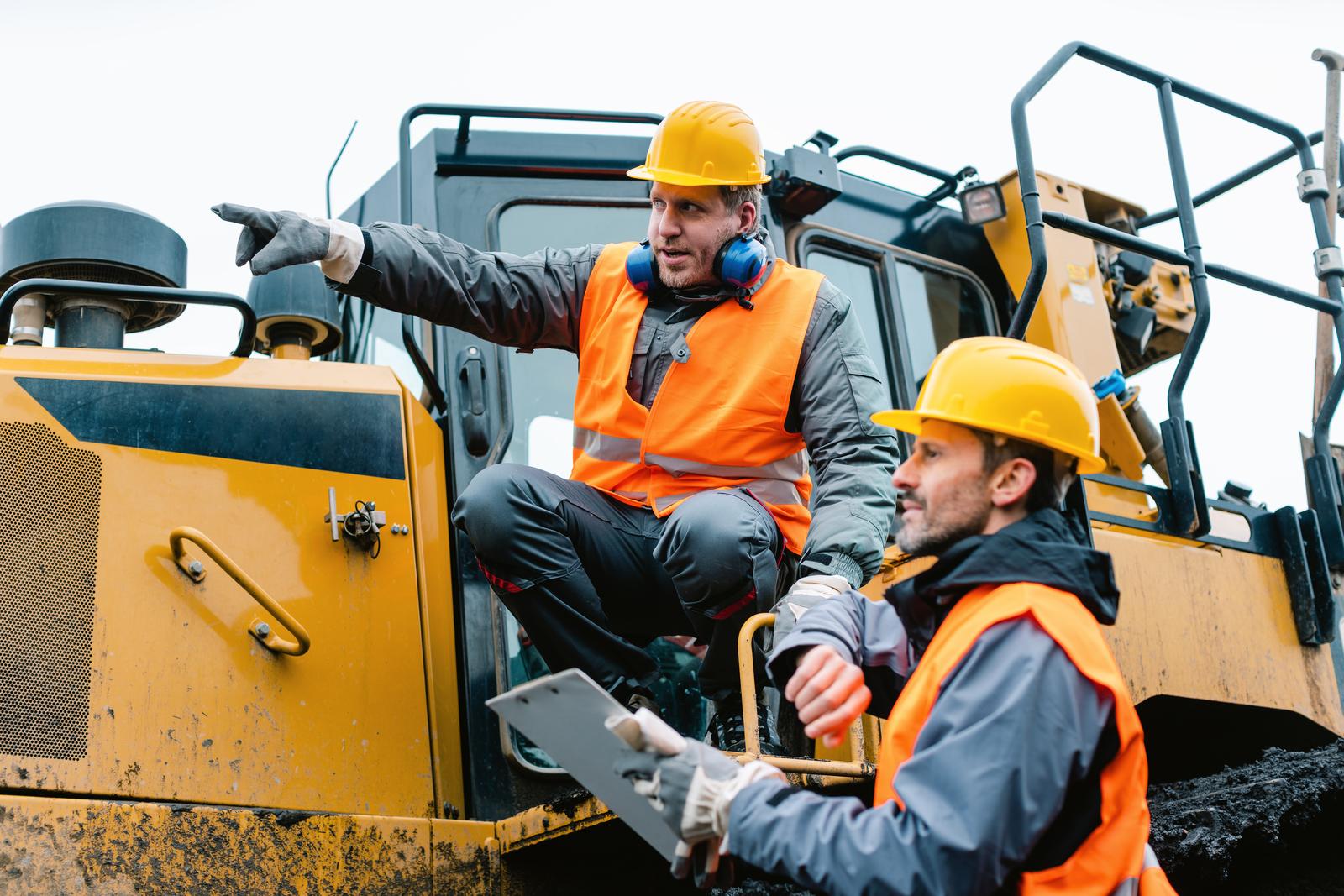
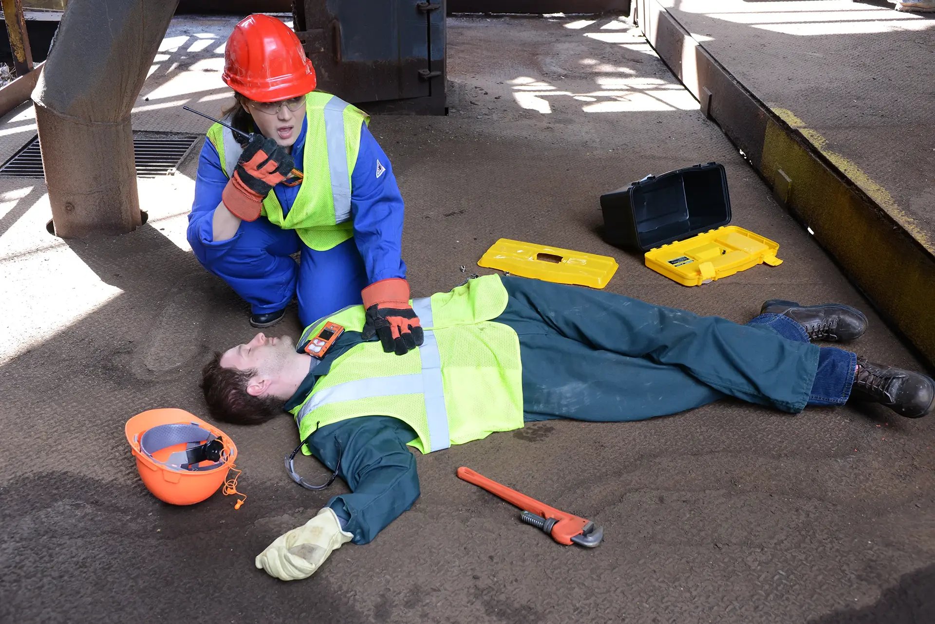


Industrial equipment inspection and early warning
Customized thermal imaging drones can efficiently inspect industrial equipment such as power facilities and oil and gas pipelines. With the help of infrared thermal imaging technology, equipment temperature anomalies can be captured in real time to locate hot spots and potential fault areas. Taking substation inspection as an example, drones scan the temperature of high-voltage lines and transformers, generate thermal maps, assist in operation and maintenance decisions, and prevent accidents.
Emergency rescue and life detection
At disaster sites such as fires and earthquakes, thermal imaging drones can penetrate thick smoke and building ruins, and detect the body temperature radiation of trapped people with highly sensitive infrared sensors. Combined with wide-area search mode, the search and rescue efficiency is significantly improved, especially at night or in low-visibility environments.
Security monitoring and border patrol
UAVs equipped with thermal imaging modules build an all-weather security system to monitor borders and important facilities without blind spots. By identifying temperature difference characteristics, intruders and wild animals are distinguished and alarms are automatically triggered. In anti-poaching operations, poachers can be tracked without interfering with the wildlife ecology.
Agricultural management and environmental monitoring
In the agricultural field, thermal imaging drones can assess crop health through leaf temperature differences and identify areas with insufficient irrigation or pests and diseases. In terms of environmental protection, they can monitor forest fire risk points, wildlife population distribution, and heat emissions from industrial pollution sources, and combine with geographic information systems to provide data support for precision agriculture and ecological protection.
HUIRUI INFRARED specializes in infrared thermal imaging technology. We established the company in 2013 with advanced technology. The company is located in Hangzhou. We use advanced thermal imaging technology, and our greatest advantage is to provide customers with thermal imaging camera solutions and customized services. Our product range - infrared thermal imaging systems, binoculars and monoculars - embodies the forefront of infrared technology. These products allow users to perceive things beyond the naked eye, so as to have a more complete understanding of the environment. With advanced production facilities and an experienced engineering team, we adhere to strict quality control at all stages of production. This ensures that each device meets top quality standards.Whether you need customized thermal imaging binoculars for special tasks or want to enhance existing equipment, HUIRUI INFRARED is your preferred partner for tailor-made solutions.
Our address
C422,Hangzhou Digital information Industrial Park,No.8 Xiyuan Ninth Road,Hangzhou,China
Phone Number
+86-571-86023798 / +8613858168018
info@hrirt.com / martin@hrirt.com
